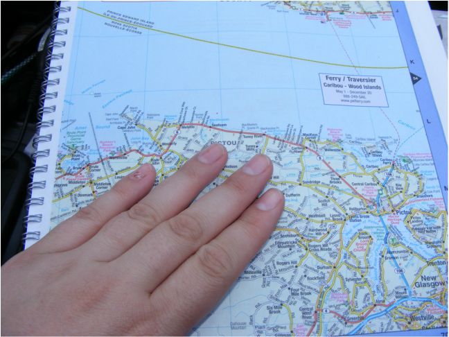
I travel with paper maps - and I know I'm not alone! After months of backpacking in my university days using tiny maps torn from the pages of Lonely Planet and Let's Go, I remember when websites like MapQuest and MapBlast were the new, hot thing. It seemed incredible that I could just type in an address and get directions for where I wanted to go. And it made travelling seem so easy! No staring at incomprehensible map squiggles – I just had to tell the driver to turn left on Main St. in 2km. 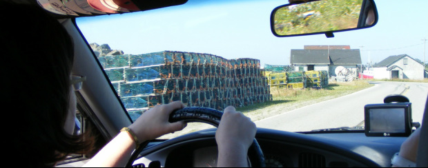 Since those early days, so much has changed. 7 years ago everyone had to have a GPS stuck to their dash. The same year we finally broke down and bought one, the in-laws also gave us one for Christmas! But a GPS required updating with new software and it was an absolute pain in terms of making them stick to our windshield. When we finally broke down and got matching iPhones, the need for a separate GPS seemed unnecessary. By downloading an app from TomTom (or similar), you can have GPS with you wherever you go. And now when you rent or buy a car, all the newer models are coming with built-in GPS. So with more technology than I can keep up with – why do I still love old-fashioned, paper maps? 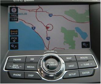 For one, I CAN’T keep up with technology. I’m not a gadget girl and I still can’t really figure out our own car’s navigation system, let alone one on a rental. It doesn't come intuitively to me and I can get really frustrated trying to figure things out. As I've been using maps for most of my life, they seem to be the easiest tool to figure out a route under pressure, like when you are navigating the back roads of the Maritimes in hopes of finding your bed & breakfast before dark. Under the same topic – many people are intimidated by new technologies. A GPS can be seen as fussy, too difficult, or too time consuming. If you want to make a real friend and get real help from an elderly cowboy in the middle of nowhere, you’ll ask if he can point out directions on your map. Some people just won't go the extra distance to help point something out on a GPS system if they don't understand it.
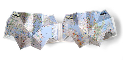
Secondly, I’m a visual person. I like looking at a map to get a good sense of where landmarks are, how twisty a road is (hello, motion sickness!) and how many tiny villages I can pass on a certain route. I like to lay out a map and really get a sense of the space. Thirdly, while we usually use the GPS in our iPhone exclusively when we travel and have never had a real problem getting around, I think deep down there’s something I’m always worried about. Like having the phone die when you are in the middle of nowhere. And not having a charger. I guess I feel reassured knowing that if electronics die, we've got a back up plan. This almost became a problem for us when we arrived in Maui last February. Directions to the rental home were only listed on one phone and its charge was getting low (Side Note: we thought we could be charging these on the plane as we went. Wrong!) When we picked up our rental jeep, there was no connection to plug in our iPhone to directly charge. Again, we had assumed wrong, using information we had accumulated with past rentals. We arrived in Lahaina with the phone hitting single digits of juice and eventually had to buy the right gadgets to connect and charge the phone via the lighter socket (what is this? 1839??). Finally, while many people think that you’ll look conspicuous and touristy if you carry a map around with you, I think the opposite is true. In many developing countries, you’ll stand out a mile away with your shiny gadgets that scream “rip me off!” But a good quality map in spiral notebook form can be recovered at a local stationery store and will be very discreet. Companies like PopOut Maps (I am obsessed with this company) make a funky, laminated map mini-book that is compact, discrete, comprehensive, and, frankly, fun. You don’t have to have a huge road map billowing in the wind to carry map with you. 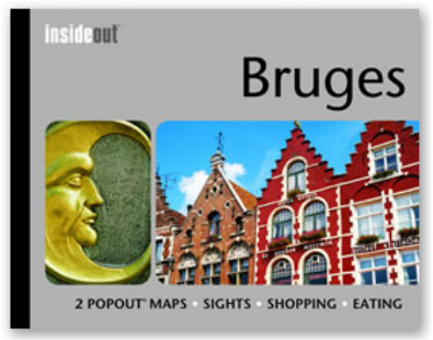 Maps are, of course, quite reasonably priced, but you can often get them for free. Many regional tourism offices are happy to send you their promotional package, including a map, for free. The state of Georgia does a great job of this. And if you belong to an auto club, one of their benefits is usually free directions or maps. Sometimes this consists of them mailing you a copy of Google Map directions (gee, thanks.) But other times it can be more comprehensive. Back when we were members of the Canadian Tire AutoClub, I contacted them before our big trip throughout the American Southwest and got a wide variety of sometimes-helpful directions -and a McNally road-map of Nevada! If you are buying a map and trying to decide between different brands or style, look at the publication date: not all companies update their maps annually and the different of a couple of years can be significant. Open and close different styles to see which you manage best. Look at different brands for the city you live in and see which format looks best to you. You’ll want a map you can easily read, with colors, fonts, and finishings that are easy to see, not too blurry, shiny, or bright. Maps are lightweight, inexpensive, an easily tuck into a suitcase or pack. Absolutely essential in more rural or developing areas, they are still an invaluable piece of travelling equipment to bring with you no matter where you are going or what you are planning. And, if all else fails, they make great souvenirs and memories of a trip and – thanks to endless hours wasting my youth on Pinterest – I've learned they can be incorporated in all kinds of funky post-vacation crafts and memory savers. As always, I welcome and encourage your comments. Do you ask for help when you get lost? If you enjoyed this article, you'll also like: Car Rental 101 Avoiding Dining Disappointments and Disasters The Joy of Doing Laundry on the Road Comments are closed.
|
�
Recent Posts
Posts by Location
Post Categories
All
Posts by Date
June 2024
|
Disclaimers, Privacy, and Cookie Policy |
Top 100 Travel Influencer
As named by the Obama White House in 2014. |
© COPYRIGHT 2024. ALL RIGHTS RESERVED.
|

